The Churches of Britain and Ireland
|
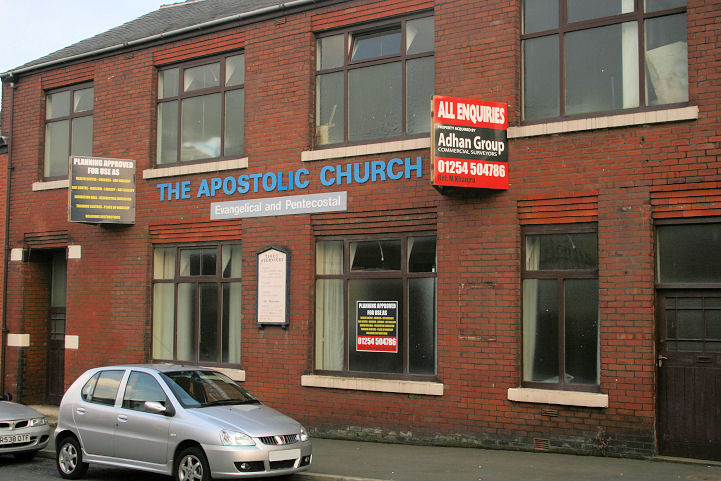
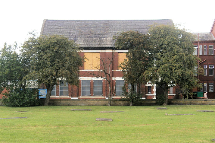
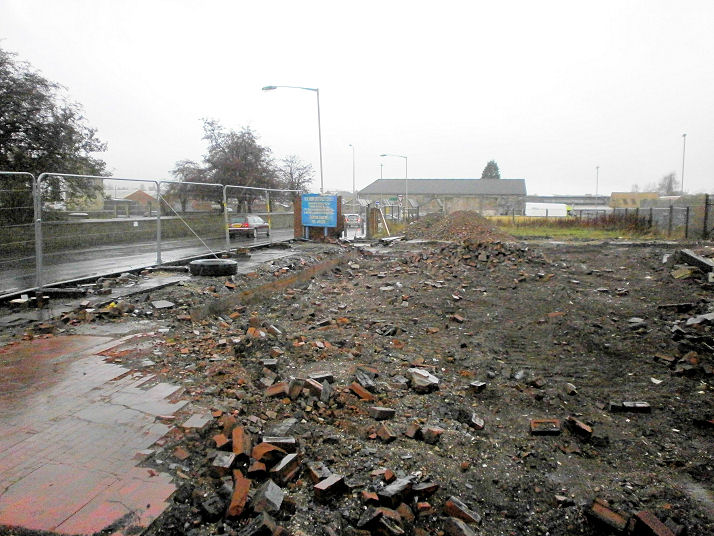
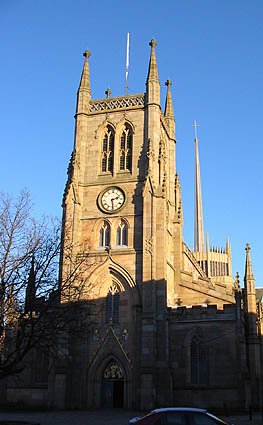
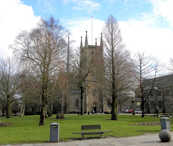
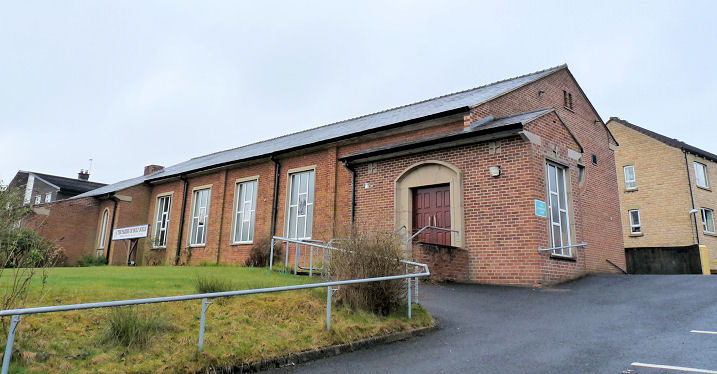
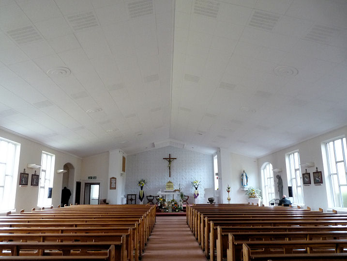
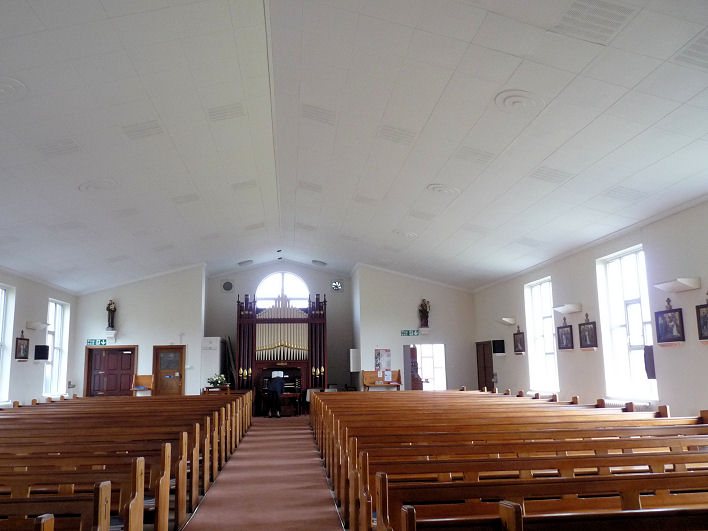
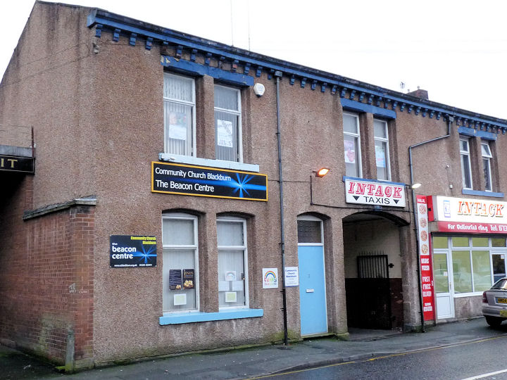
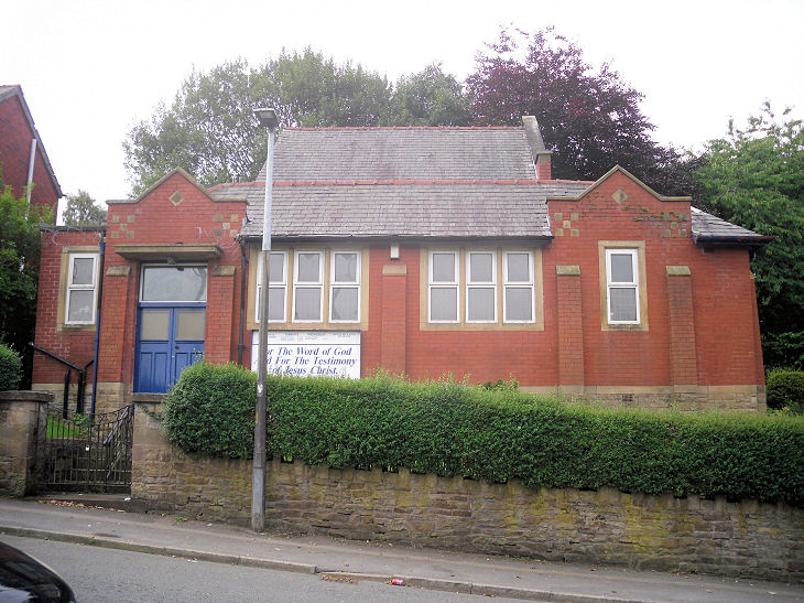
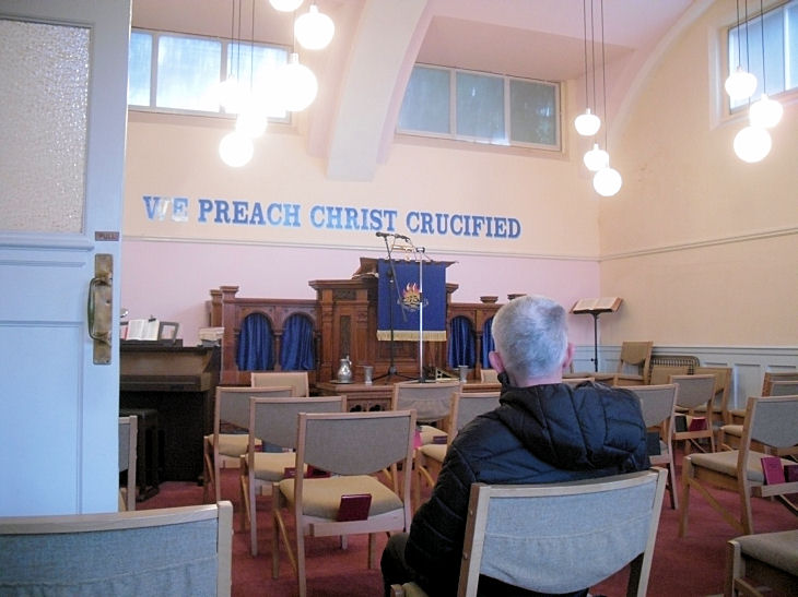
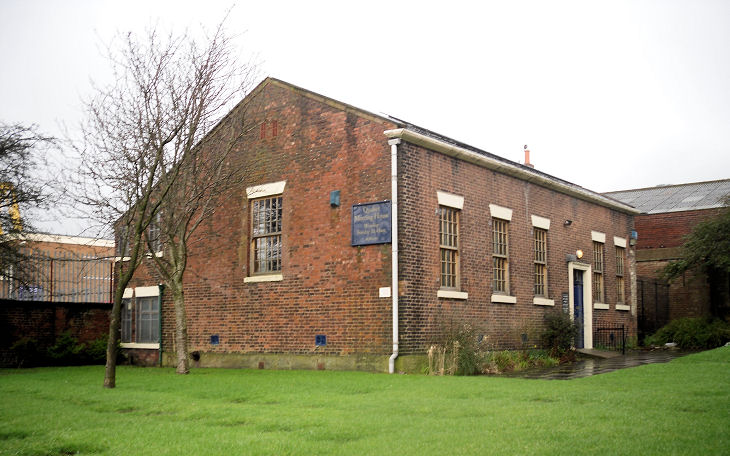
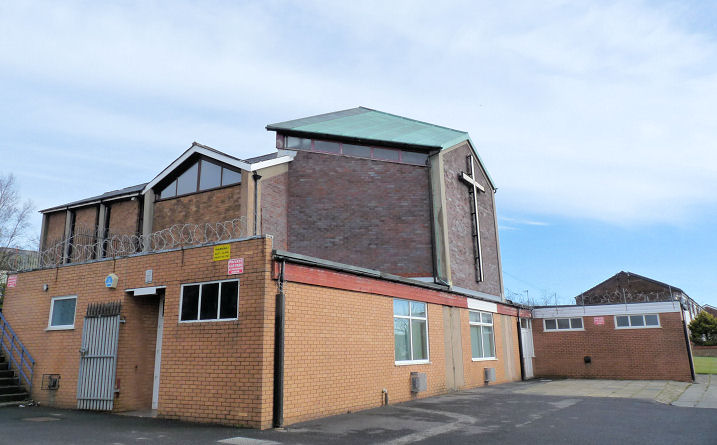
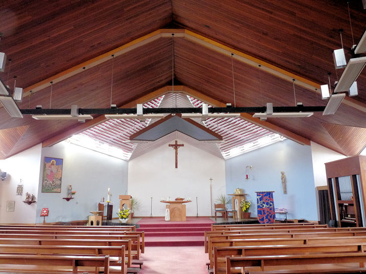
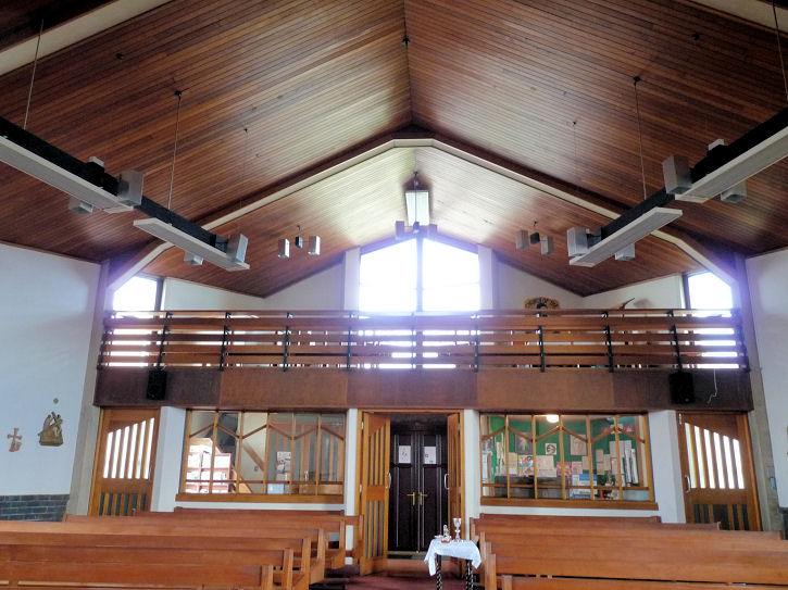
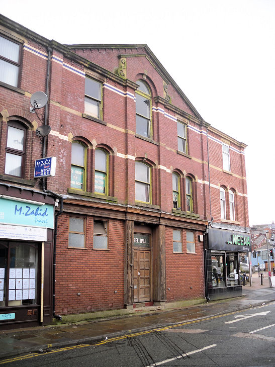
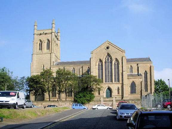
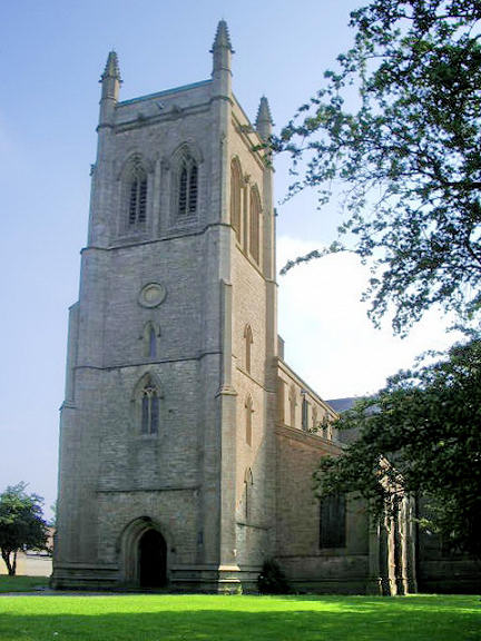
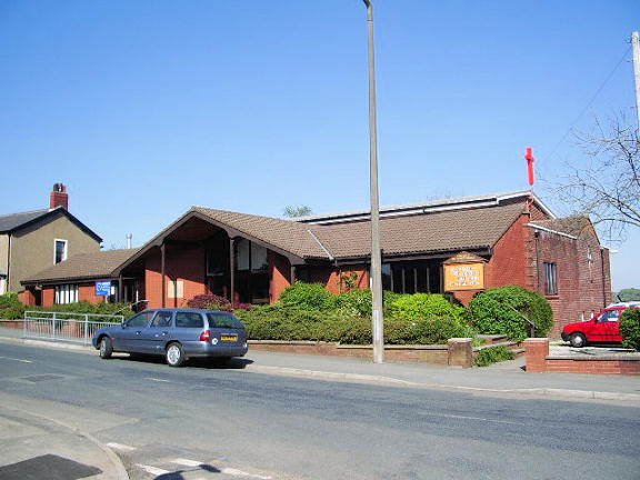
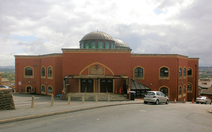
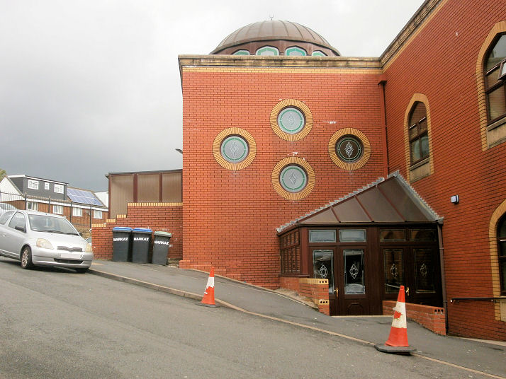
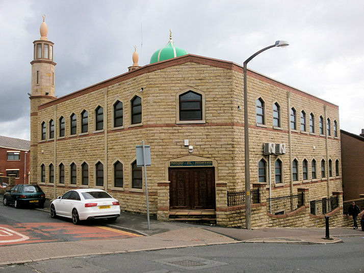
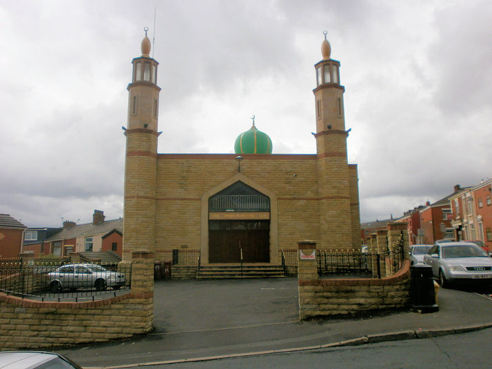
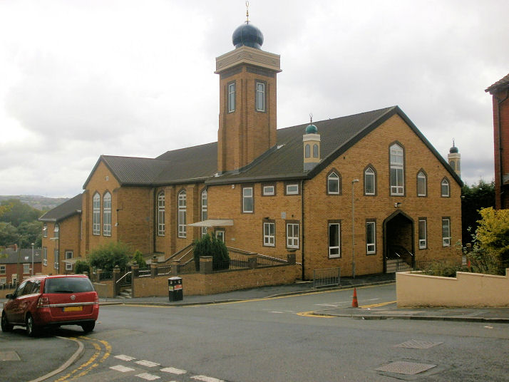
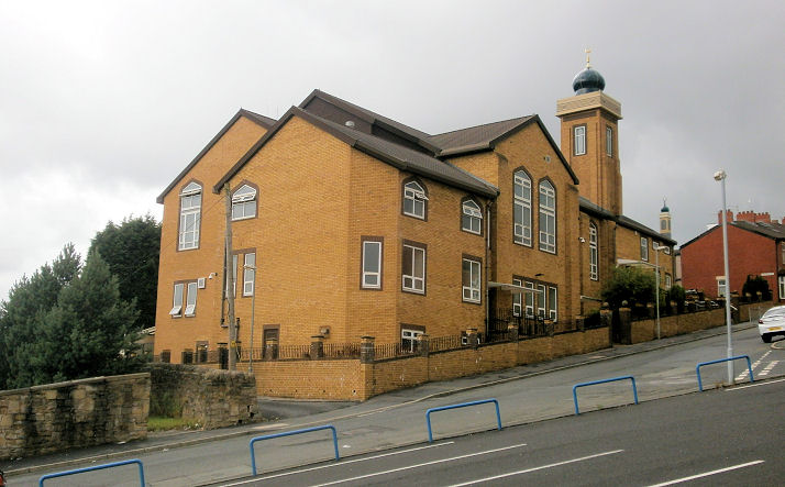
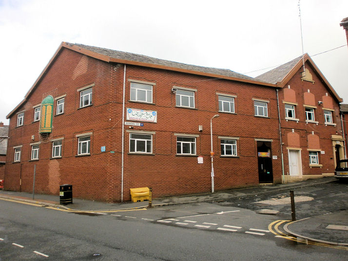
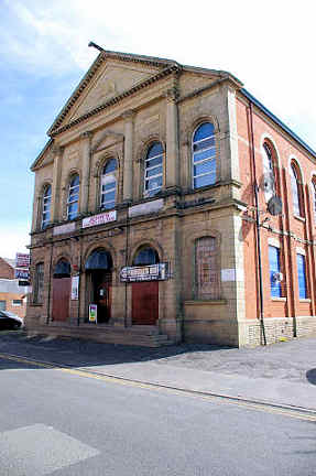
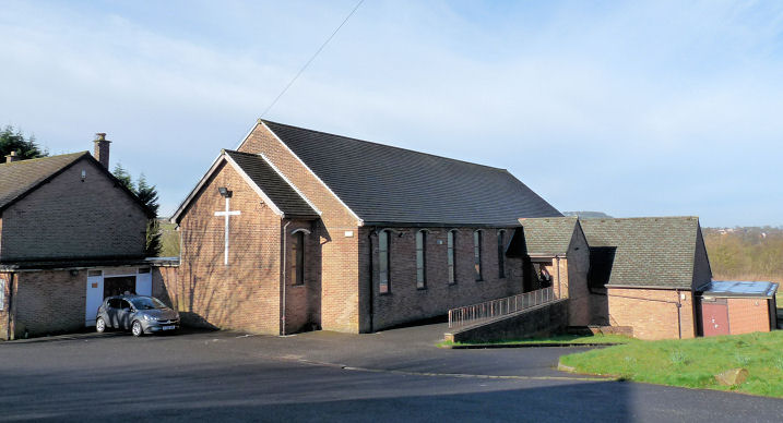
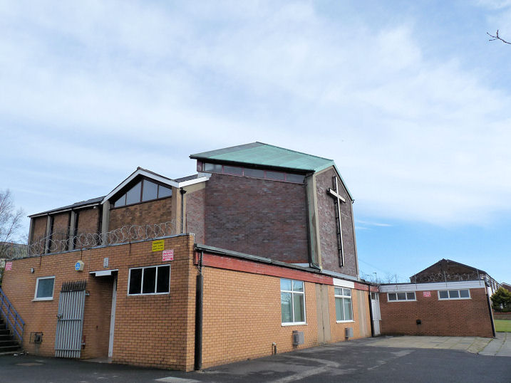
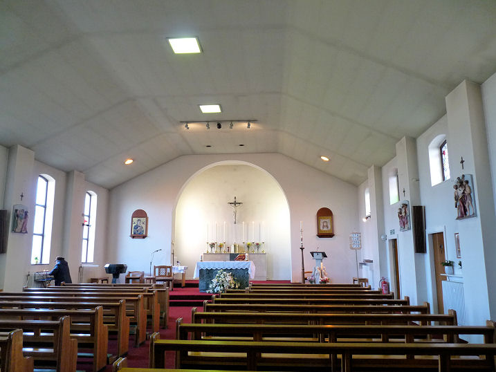
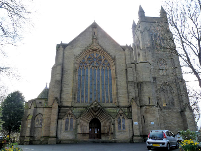
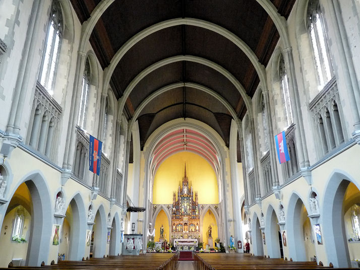
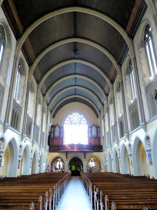
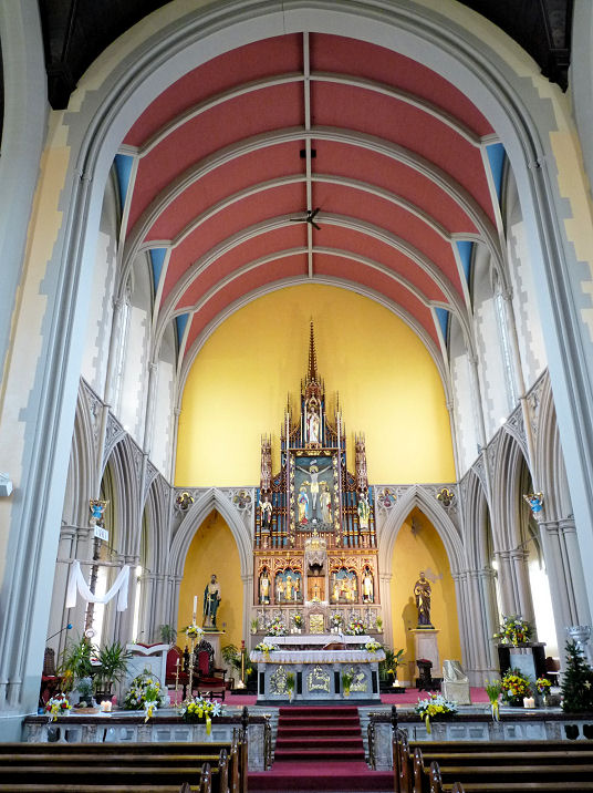
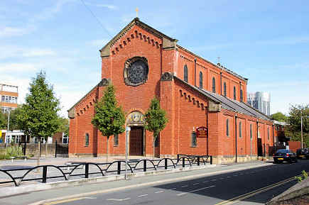
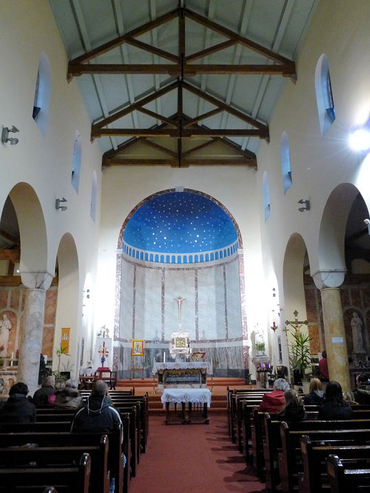
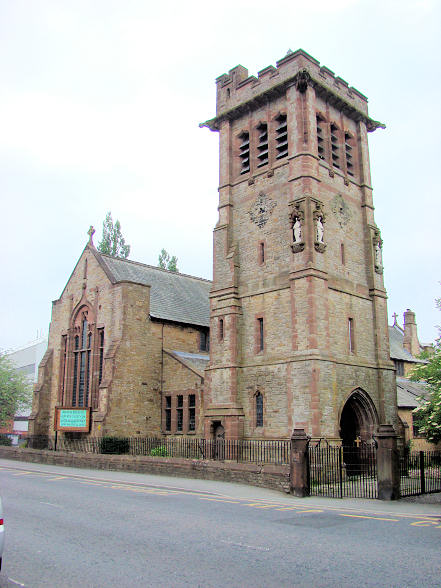
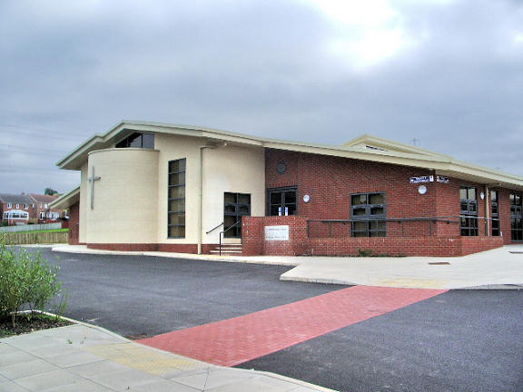
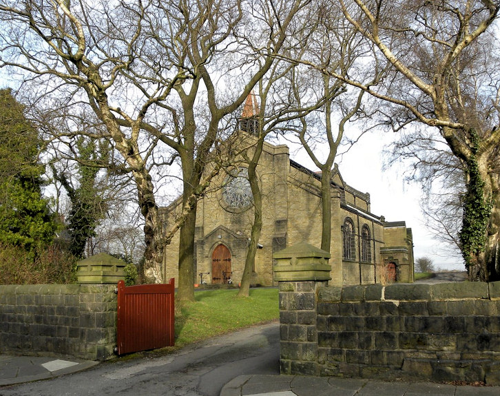
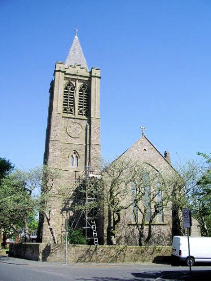
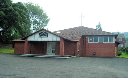
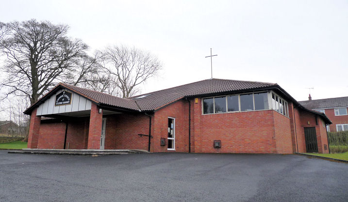
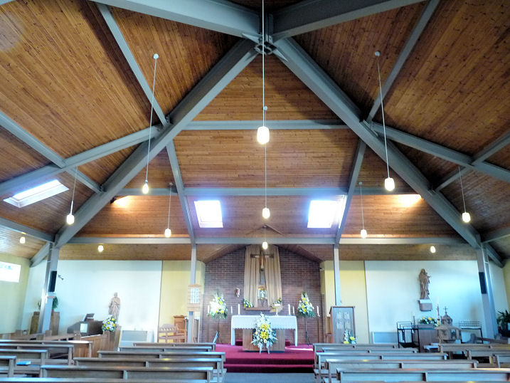
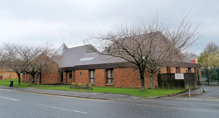
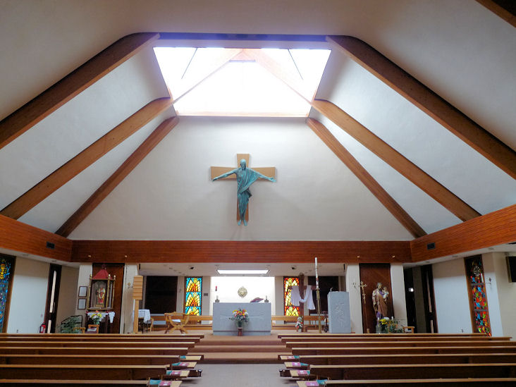
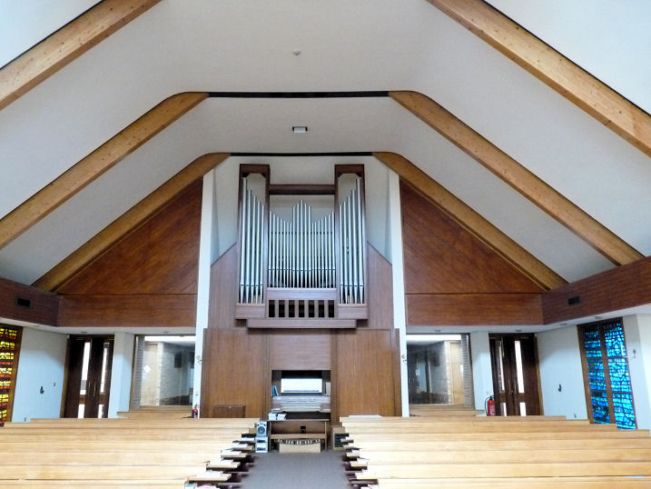
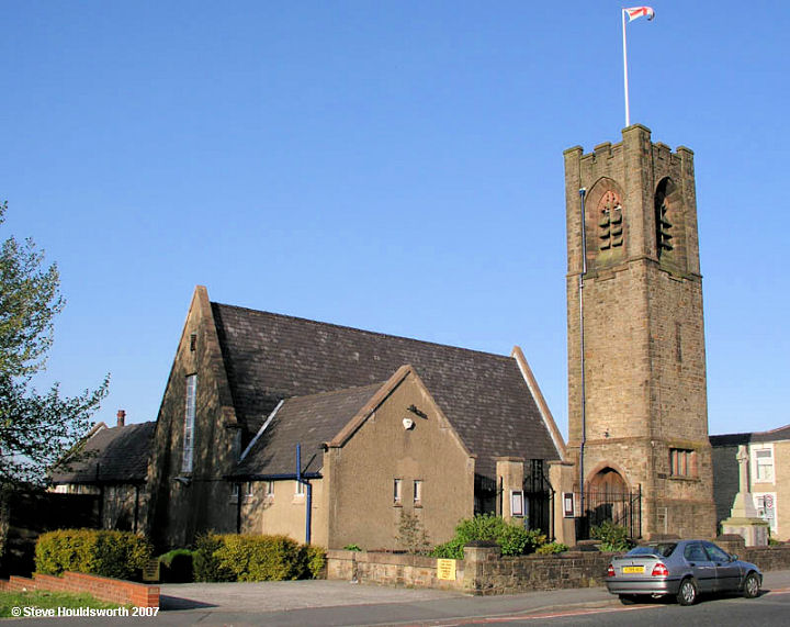
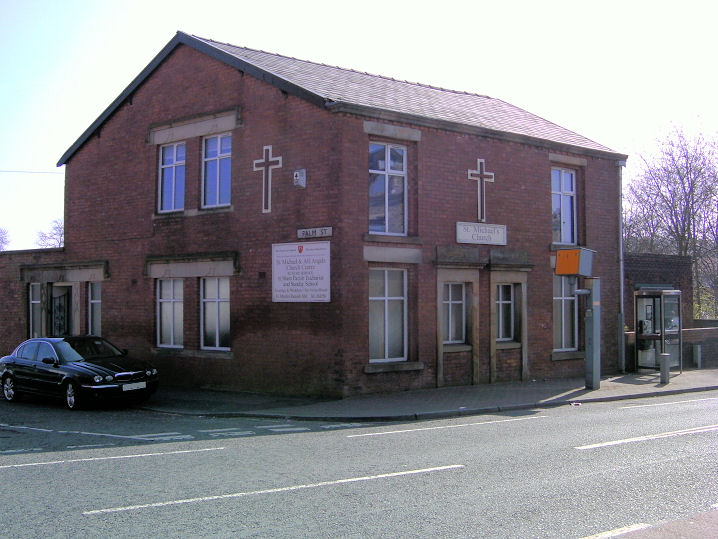
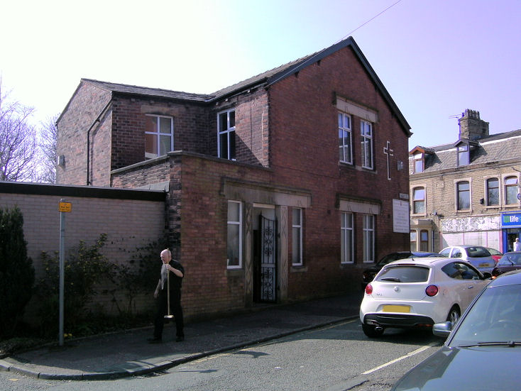
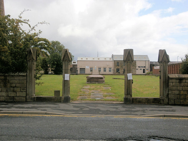
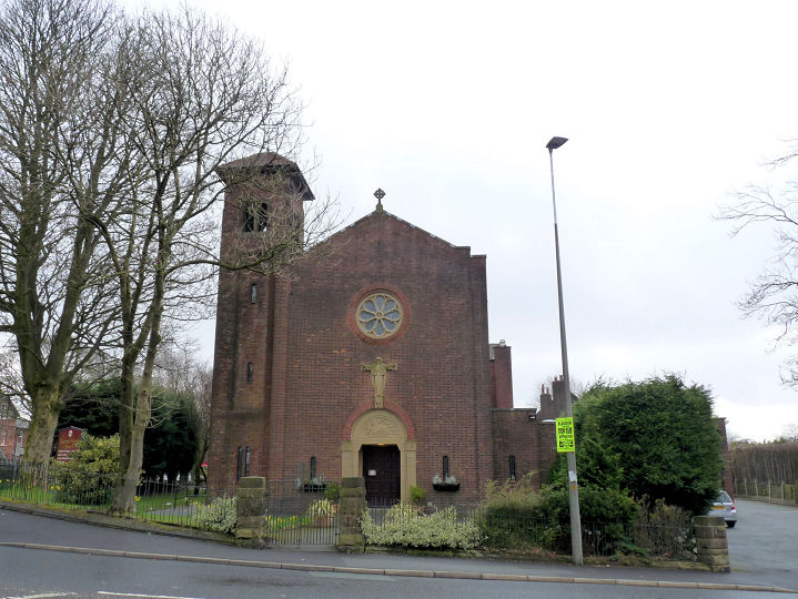
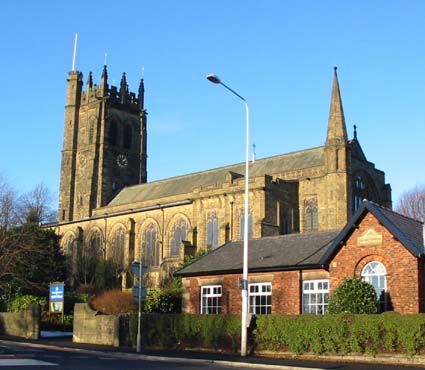
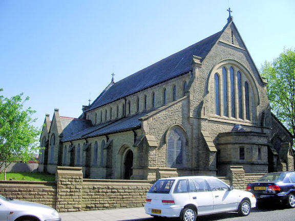
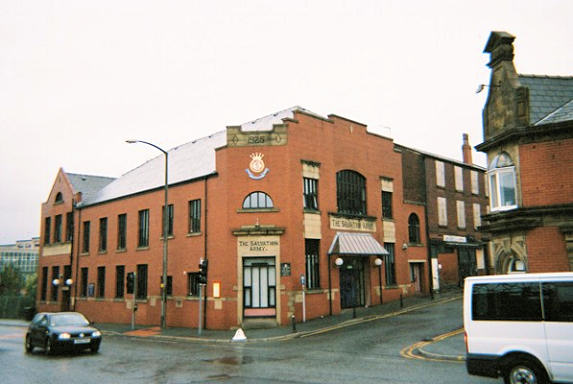
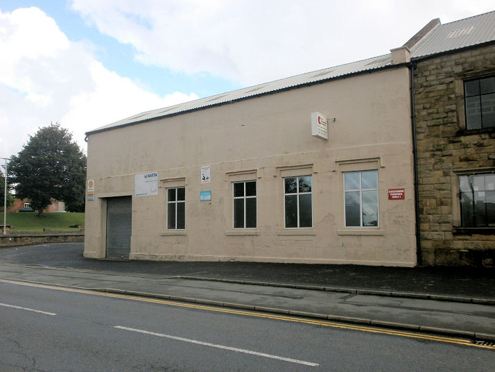
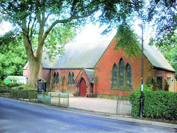
Blackburn, Lancashire Apostolic Church on Randal Street. © Nigel Birch. Blackburn Spiritualist Centre on Prince's Street, successor to Blackburn Spiritualist Church (see next entry). SD 679 279. © Mike Berrell (2013). The now-demolished Blackburn Spiritualist Church was built about 1905, adjacent to St. Peter's Church, and was successor to Spiritualist Hall on Freckleton Street (see Spiritualist Hall, below). It shows as "Temple" on the 1911 OS map. It was demolished in 2014 - the site immediately after demolition. SD 6797 2773. Both © Howard Richter (2014). Cathedral Church of St Mary the Virgin (1820-6). Elevated to Cathedral status in 1926. SD 684 280. © Paul Brown. Another view, © John Balaam (2013). Link. Grade II* listed. Church of the Holy Souls (R.C.) on Whalley New Road, Ramsgreave and Wilpshire. Two interior views - 1, 2. SD 686 314. All © Mike Berrell (2016). Community Church (The Beacon Centre) on Mill Lane. SD 682 278. © Mike Berrell (2013). Evangelical Presbyterian Church on Fecitt Brow. The interior. Old maps show a Mission Room on the same site, although aligned at 90 degrees to the present church. It was built sometime around 1900. Whether it was the predecessor of todays church is not so far known. SQ 7040 2792. Both © Gerard Charmley. Link. Friends' Meeting House on Paradise Lane. © Gerard Charmley (2016). Link. Good Shepherd (R.C.) on Northfield Road. Two interior views - 1, 2. SD 682 292. All © Mike Berrell (2016). Gospel Hall, © Gerard Charmley (2016). Holy Trinity. The tower. SD 687 283. Both © Philip Kapp. Kingdom Hall of Jehovah's Witnesses on Whalley New Road. SD 688 300. © Mike Berrell (2013). Lammack Methodist Church. SD 674 299. © Philip Kapp. Makki Masjid on Balaclava Street. Another view. SD 6818 2885. Both © Howard Richter (2014). Masjid-al-Hadiyah on Whalley Street. Another view. SD 6840 2885. Both © Howard Richter (2014). Link1. Link2. Masjid-e-Anisul Islam on Troy Street and Bangor Street. It stands on the site of a Presbyterian Church, which first shows on the OS map of 1911. It replaced a smaller building which stood nearby at about SD 6881 2911, and which is shown on the 1894 map. When either of these buildings went out of use or were demolished is at present uncertain. Another view. SD 6879 2916. Both © Howard Richter (2014). Link. Masjid-e-Raza on Randal Street and Kendal Street. A converted tobacco factory, dating from 1885. Another view. SD 6834 2862. Both © Howard Richter (2014). Link. Methodist Church. SD 679 280. © Philip Kapp. A former Methodist Church, now a snooker hall. © Philip Kapp. The former New Jerusalem (Swedenborgian) Church on Anvil Street. According to the GENUKI entry, it was founded before 1876 and has been demolished. From Neil Floyd's Collection. Our Lady of Perpetual Succour (R.C., opened 1955) on Pilmuir Road, Longshaw. Interior view. SD 685 257. Both © Mike Berrell (2016). Sacred Heart of Jesus (R.C., 1955) on Preston New Road. Interior view. SD 667 284. Both © Mike Berrell (2016). St. Alban (R.C.) on Lark Hill. Three interiors - 1, 2, 3. SD 688 286. All © Mike Berrell (2016). St. Anne (R.C.) on Prince's Street. SD 678 277. © Philip Kapp. Interior view, © Mike Berrell (2013). The former St. Bartholomew (now disused) at Ewood. © Peter Morgan. This church has been replaced by another of the same name. SD 678 258. © Philip Kapp. St. Francis at Feniscliffe. © John Balaam (2013). Link. St. James. SD 681 293. © Philip Kapp. The former St. John, now St. John's Centre, used for housing a variety of organisations (Citizens Advice Bureau, etc.). SD 683 284. © Philip Kapp. St. John Vianney (R.C., consecrated 1992) on Livesey Branch Road. SD 664 256. © Philip Kapp. Another view, and an interior, both © Mike Berrell (2016). St. Joseph (R.C., 1982) on Audley Range, Audley. Two interior views - 1, 2. SD 693 277. All © Mike Berrell (2016). St. Jude on Accrington Road. SD 700 282. © Steve Houldsworth (2007), and reproduced by kind permission of Fr. Martin Daniels, and the good offices of Kevin Price. St. Michael and All Angels on Palm Street. Another view. Kevin advises that a previous church was demolished, and this is the replacement. SD 690 291. Both © Kevin Price (2012). The site of St. Peter, shown here from the west gate, looking along the axis of the church to the east gate. Built as a Chapel-of-Ease and consecrated in 1821, it was demolished in 1976. There are plans to drive a road through the site - this is the official planning document. There is an illustration of the church here. SD 680 277. © Howard Richter (2014). St. Peter in Chains (R.C.) on Jessel Street, Mill Hill. Another view, and an interior. SD 6678 2680. Both © Mike Berrell (2016). Link. St. Silas. SD 667 285. © Paul Brown. St. Stephen at Little Harwood. SD 695 292. © Philip Kapp. St Teresa of the Child Jesus (R.C.) on Bentley Street, Intack. SD 7025 2823. © Mike Berrell (2016). Salvation Army Citadel. © Rob Brettle. The former Spiritualist Hall on Freckleton Street. Evidently much altered since its use as a church, it seems to have been a school originally, changing use sometime between 1848 and 1893. Date of closure is uncertain, though likely to have been on or about 1905 when the new Temple (so called on the 1911 OS map) was built. (see Blackburn Spiritualist Church, above). SD 6804 2774. © Howard Richter (2014). The former Strict Baptist Chapel, now in commercial use. The date-stone announces Particular ...... Chapel A. D. 1764. Re-built 1930. © Gerard Charmley (2016). Withnell Fold Methodist Church. SD 615 231. © Philip Kapp.
A solitary spire - can you name the church to which
it belonged? SD 689 277. © Philip Kapp.
|
||
04 March 2023
© Steve Bulman