The Churches of Britain and Ireland
| Atherton,
Greater Manchester
Atherton Link, which
has a section covering many of these churches, and is the source for Peter
Wood's photos
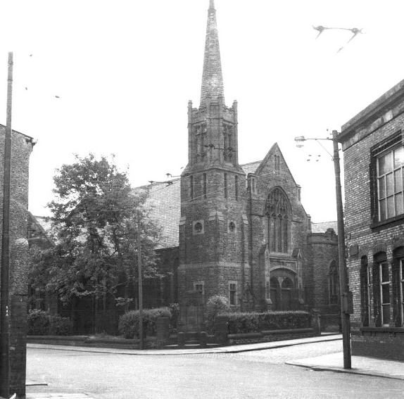
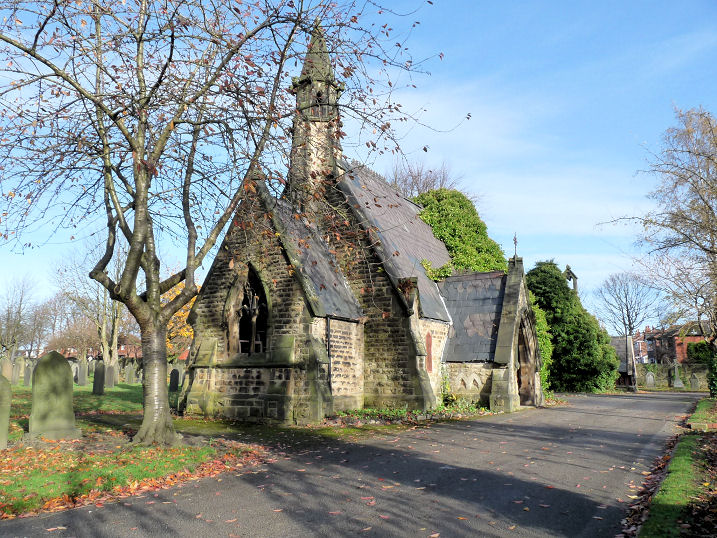
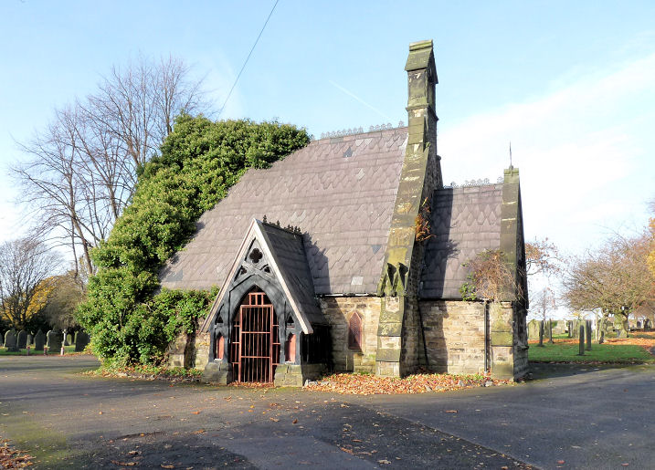
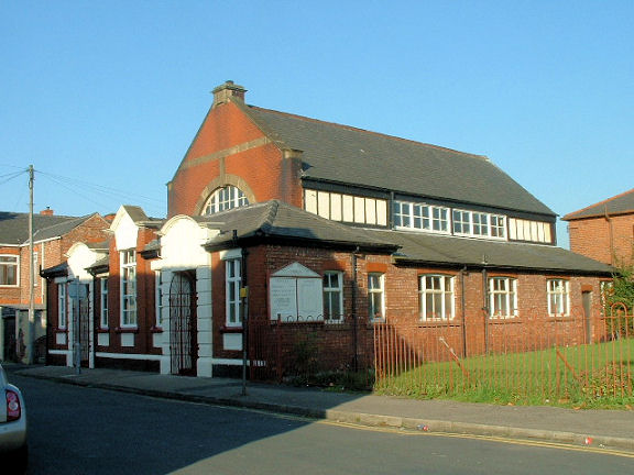
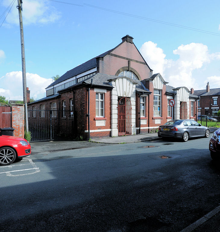
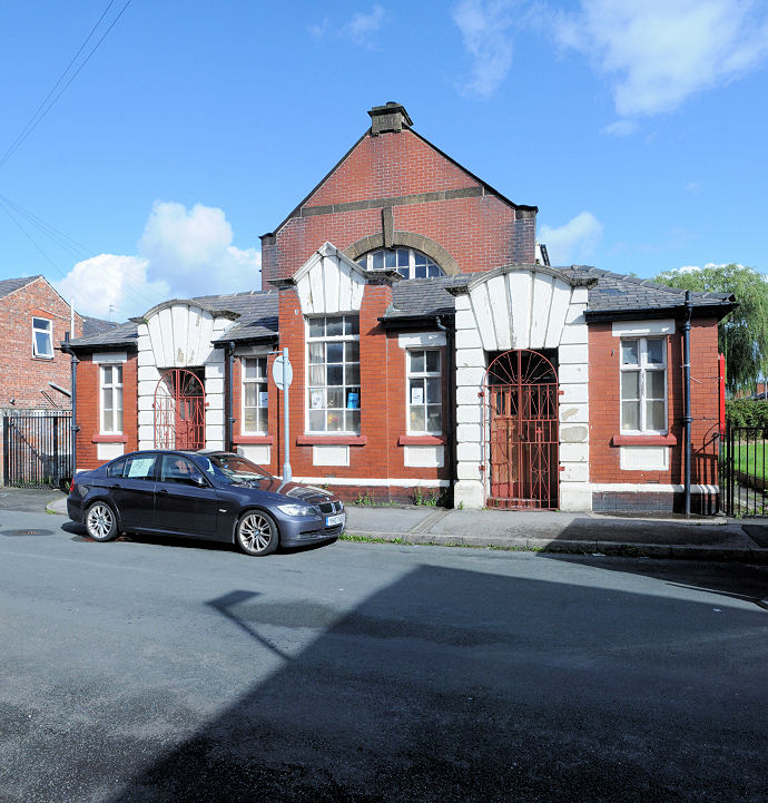
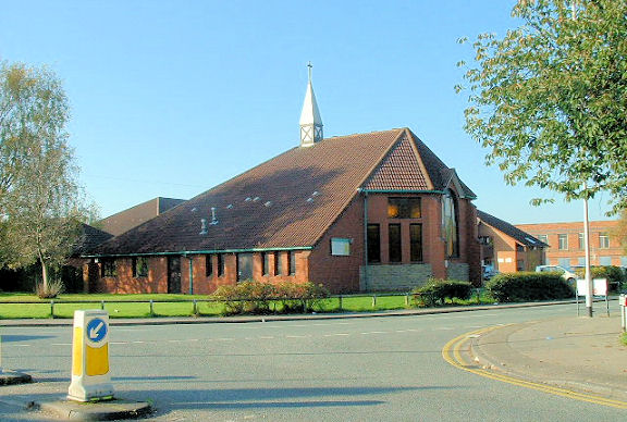
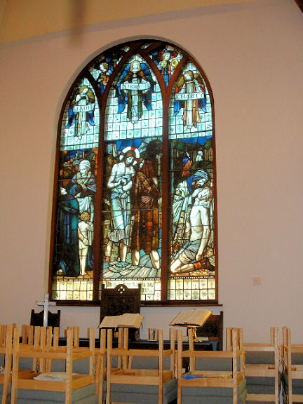
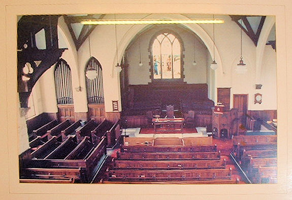
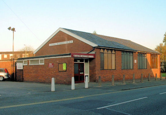
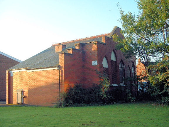
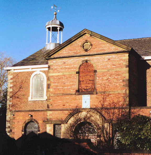
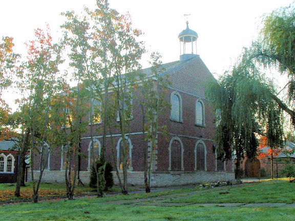
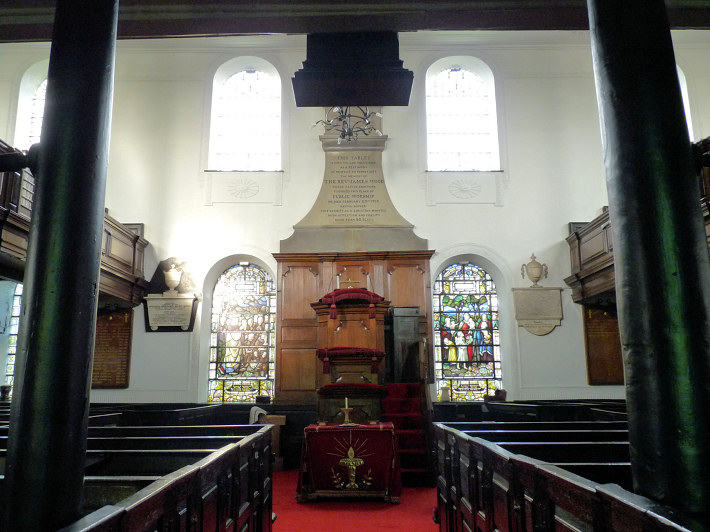
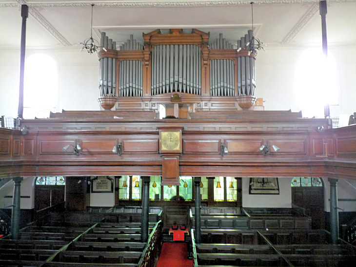
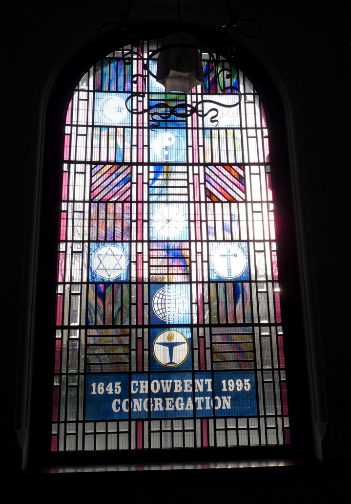
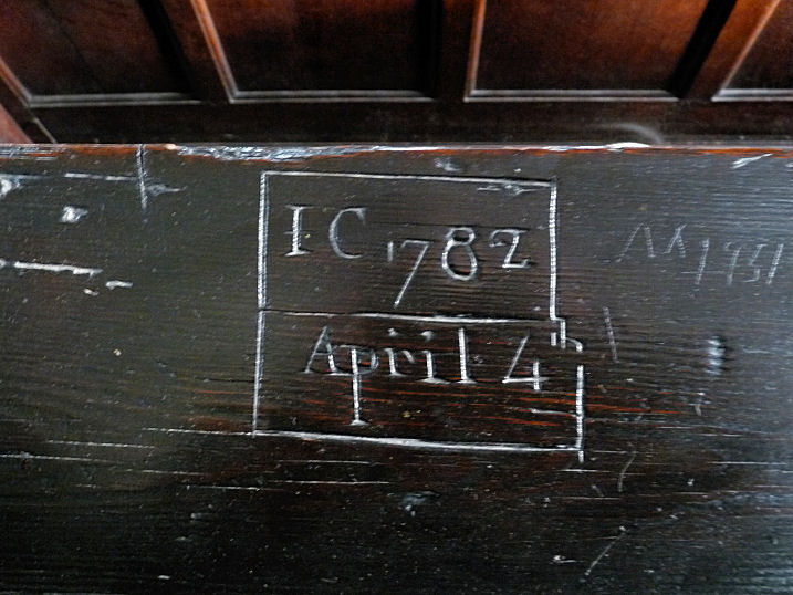
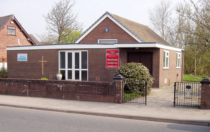
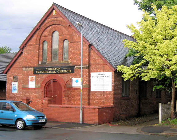
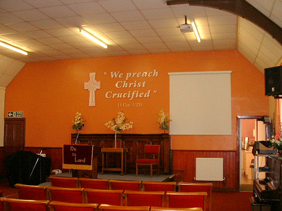
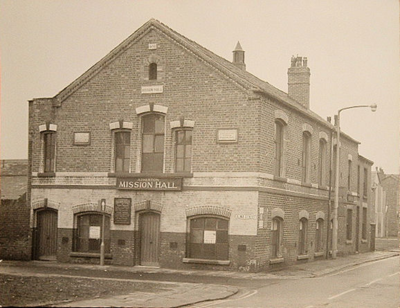
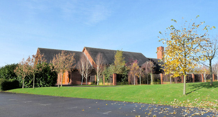
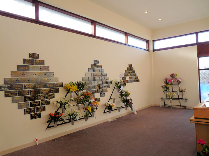
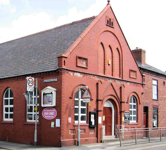
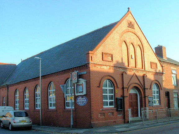
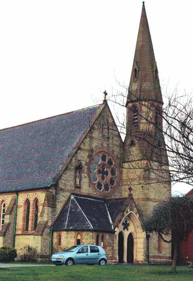
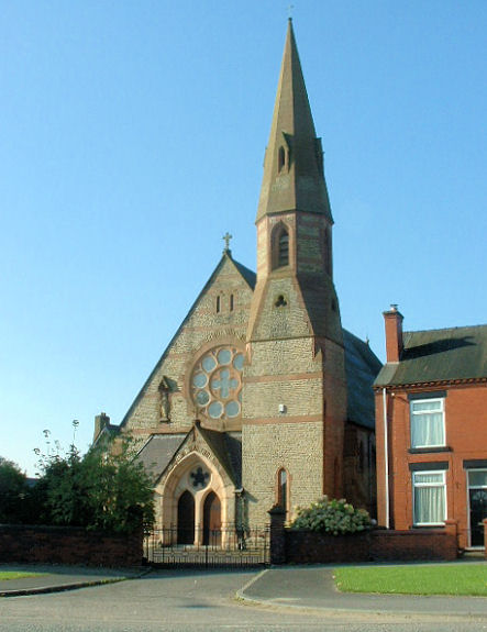
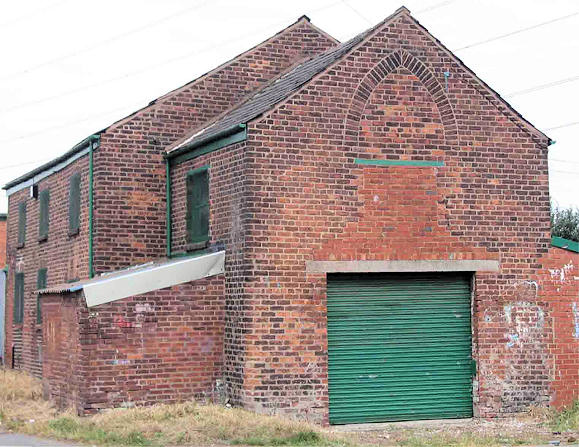
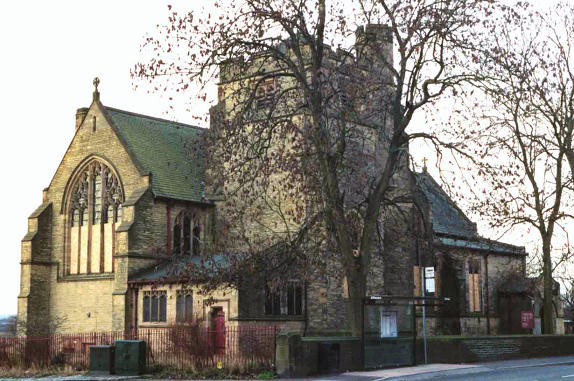
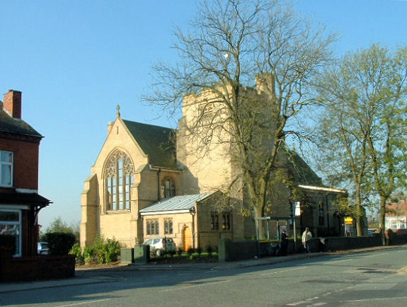
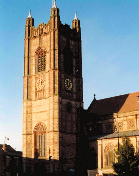
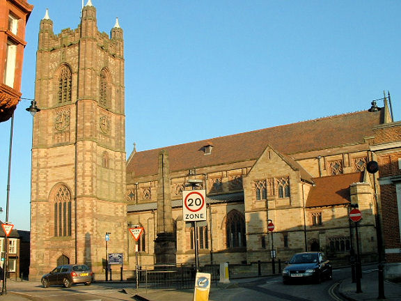
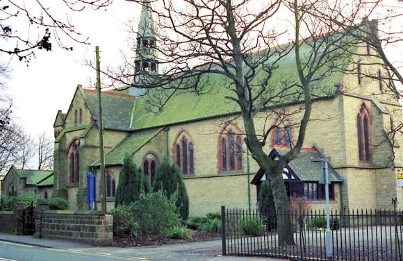
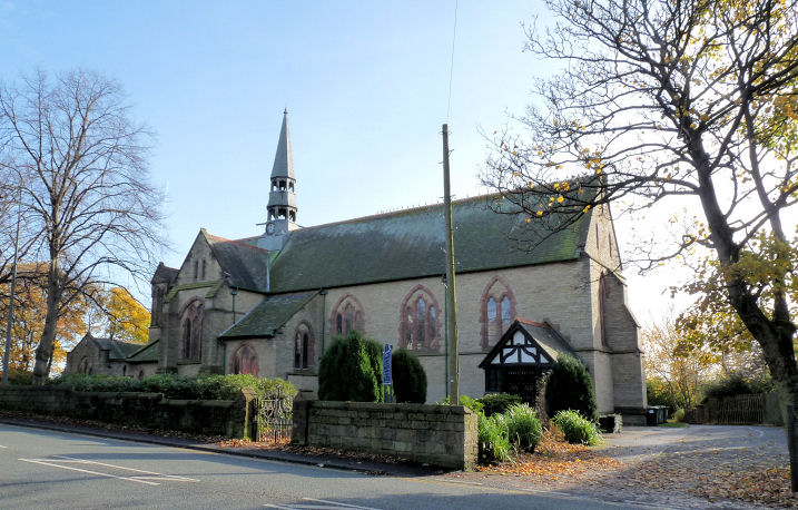
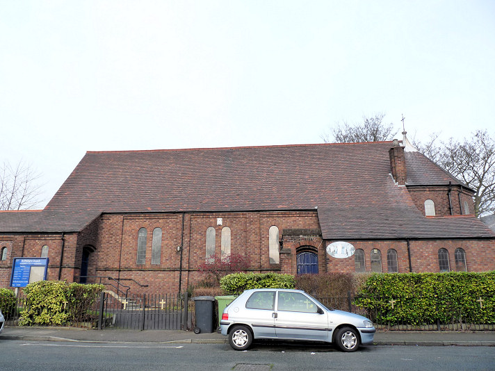
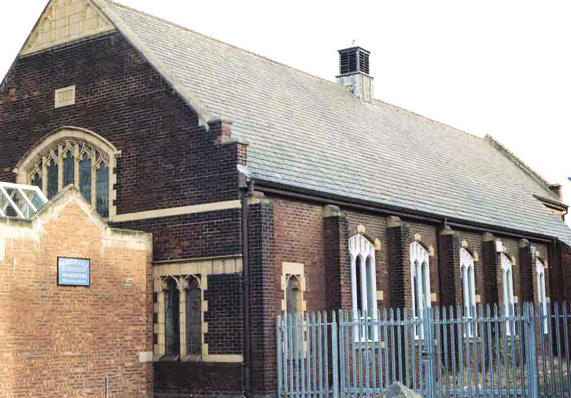
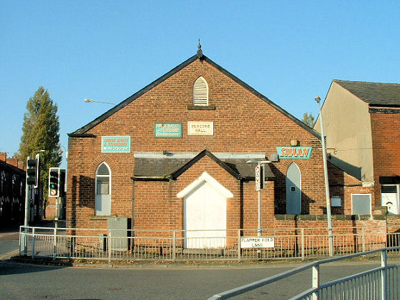
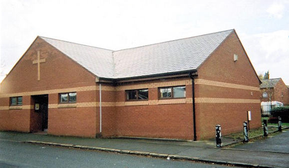
included below (with permission). Atherton Baptist Chapel, on Lee Street and Tyldesley Road, demolished, perhaps in the 1980's. Although Peter didn't take this photo, it is in his collection, having been sent to him many years ago. If it's your photograph, and you object to its inclusion on the site, please let me know and I'll take it down. SD 6772 0300. From Peter Wood's collection. See also the Baptist Church entry below. Atherton Cemetery on Leigh Road has two disused Mortuary Chapels - 1, 2. Old maps show them as Nonconformist at SD6684 0293, and Church of England at SD 6682 0291. Both © Mike Berrell. Bag Lane Methodist Church on Bag Lane and Factory Street. Its Genuki entry says it was "founded before 1895" as Wesleyan. If this is correct then it must originally have been on a different site, as it's not shown on a map of 1908. SD 6713 0327. © Mike Berrell. Two additional views - 1, 2, both © Karel Kuča (2019). This is speculation, but, based on the coincidence of dates, its predecessor may have been the Wesleyan Methodist Chapel listed at the bottom of this page. Baptist Church on Tyldesley Road stands a very short distance from the site of the Baptist Chapel listed above. One of its stained glass windows came from the previous church. SD 6777 0299. Both © Mike Berrell. Link. This interior view of the previous church building is reproduced by kind permission of the present church, and of Mike Berrell who photographed it and forwarded it to me. This is almost certainly the same church as in the "Atherton Baptist Chapel" entry above. Central Methodist Church, on High Street. The vestry is all that remains of the former church. SD 6778 0326. Both © Mike Berrell. Chowbent Chapel (Unitarian) on Bolton Old Road and Alderford Street. SD 6790 0321. © Peter Wood. Another view, © Mike Berrell. Two interior views - 1, 2, an interesting window, and an illustration that bored choirboys have ever been prone to a spot of vandalism, all © Mike Berrell (2013). Link, which dates it to 1721, successor to an earlier chapel of 1645. Grade II* listed. A separate listing of grade II applies to the gates, railings, etc. Church of the Nazarene on Tyldesley Road. SD 680 027. Founded as part of the UK-based International Holiness Mission about 1932, they merged with their US parent (Church of the Nazarene) in 1952. The building dates from the 1960's. © David Collier. Streetviews show that the church had left in 2016 or 2017, and the building has since been in business use - 2021 Streetview. Evangelical Church on Alma Street (formerly Lord Street North) was originally a Primitive Methodist Chapel. SD 6749 0323. © Peter Wood. Interior view, © Mike Berrell. Link. A 2009 Streetview shows the windows being bricked up. Regarding the P.M. Chapel, this source says that the Evangelical Church is the former Hall of the adjacent now-demolished chapel. Map evidence shows that the "Hall" preceded the demolished church, and was the first chapel on the site (in 1890, Methodist Chapel (Primitive) (Seats for 250)), and used as the hall after the new chapel had been built. It also dates this second chapel to 1886, on the strength of a foundation stone (pictured) from the demolished chapel. But this can't be correct either, as a map of 1890, surveyed in 1888, only shows the hall (then still the first chapel). A map of 1908, revised in 1906, shows the same. A map of 1928, revised in 1926-7, does finally show the first and second chapels together (near the top right corner), the first one now showing as "S. Sch.". I suspect that the foundation stone belonged to the demolished Mission Hall, which stood at the corner of Mealhouse Lane and Lord Street (now Alma Street) at SD 6747 0319, and is reproduced by kind permission of Atherton Evangelical Church, where the original photo hangs. Thanks also to Mike Berrell for taking and forwarding this copy from the original. Its site is now a car park (2017 Streetview) . The aerial view on the My P.M. entry shows that the 20th century chapel was quite an imposing building (I think it also may well show the Mission Hall). The site of the demolished chapel next to the Evangelical Church now has two bungalows on it (2023 Streetview). Howe Bridge Crematorium Chapel on Lovers Lane. Interior view. SD 6590 0251. Both © Mike Berrell. Link. The Independent Methodist Chapel on Mealhouse Lane was erected in 1885, and re-built in 1907. SD 6736 0321. © Peter Wood. Another view, © Mike Berrell. Link. A Mission Room is shown on a map of 1890 on The Valley at SD 6806 0318. The Valley no longer exists, and where the church stood is now woodland. It's site is down the path, behind the house, seen in a Streetview from 2023. The former Sacred Heart (R.C.), on Tyldesley Road, Hindsford, closed in 2004. SD 6836 0236. © Peter Wood. Another view, © Mike Berrell. Link. The former St. Anne Mission Church on Arley Way, Hindsford, now a warehouse. SD 6833 0273. © Peter Wood. The former St Anne, Tyldesley Road, Hindsford, was the successor to St. Anne above, but this too has been deconsecrated, and has been converted into flats. SD 6819 0258. © Peter Wood. Another view, © Mike Berrell. Grade II listed, wherein it's dated to 1899-1901, by Paley and Austin. Two sources - 1, 2, mention St. James (Free Church of England), and they agree on the dates (1871-1889), and location (source 1, near SD 681 034) and (source 2, "at or very near the Laburnums"). However, a map of 1890 surveyed in 1888 fails to show it. St. John the Baptist. It's dated to 1879 by Paley and Austin in its grade II listing. SD 6760 0314. © Peter Wood. Another view, © Mike Berrell. Link. Its Wikipedia entry says that it's the third church on the site. St. Michael & All Angels on Leigh Road, Howe Bridge. SD 6649 0245. © Peter Wood. Another view. © Mike Berrell. Link. Grade II* listed, wherein it's dated to 1875-7, by Paley and Austin. St. Philip (1914) on Crosby Street. SD 6821 0355. © Mike Berrell (2013). Link. St. Richard of Chichester (R.C.) on Mayfield Street. SD 6747 0303. © Peter Wood. Link. Seacome Hall on Flapper Fold Lane and Mealhouse Lane, is marked on a map of 1890 as Progressive Christian Church. In 1906 it's shown as School. SD 6740 0321. © Mike Berrell. Seven Brooks Salvation Army Hall on George Street, formed from the merger of Atherton Salvation Army and Tyldesley Salvation Army. SD 6758 0324. © Rob Brettle. Link. A map of 1890 shows a Wesleyan Methodist Chapel on Wesley Street and Laburnam Street. By the time of a map of 1908, it's shown as Sunday School. It survives, with a date-stone for (I think) 1865, and it was seen by Streetview in 2023. SD 67811 0335.
|
||
13 February 2024
© Steve Bulman