The Churches of Britain and Ireland
|
Aberkenfig, Bridgend
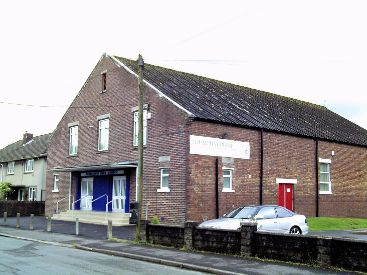
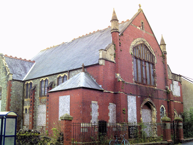
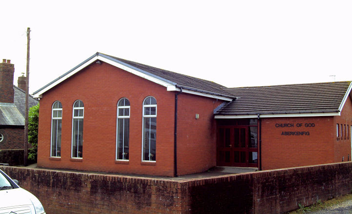
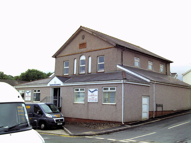
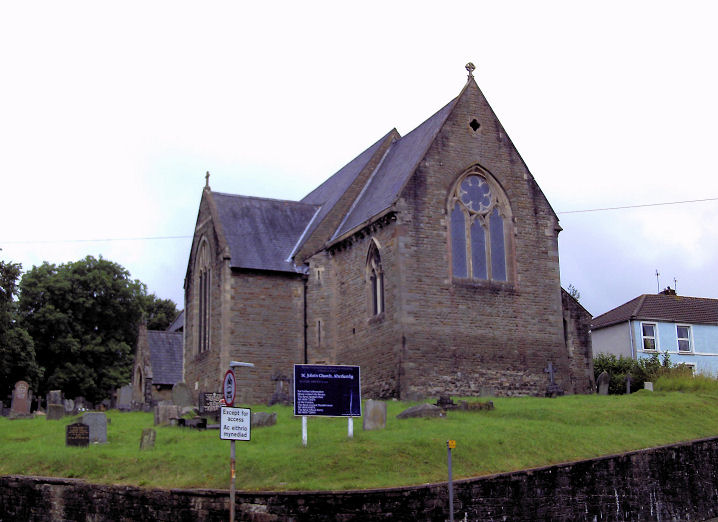
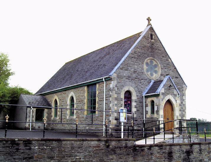
The derelict Carey Baptist Church on Bridgend Road. The church was subsequently demolished - Streetview shows this to have been between 2011 and 2016. The red brick flats on the site today can be seen in a Streetview from 2022. SS 8931 8393. © Gervase N. E. Charmley. Church of God on New Street. SS 8930 8382. © Gervase N. E. Charmley. Link. The former Ebenezer Welsh Independent Chapel on Bridgend Road and Meadow Street, now in commercial use. SS 8922 8370. © Gervase N. E. Charmley. Glamorgan Muslim Community Centre on Dunraven Street, as seen by Streetview in 2022. SS 8920 8353. St. John (CiW). SS 8927 8363. © Gervase N. E. Charmley. Link. St. Robert of Newminster (R.C.) on Bridgend Road. SS 8929 8367. © Gervase N. E. Charmley. Link. The Spiritualist Church on Pandy Park, as seen by Streetview in 2022. SS 8958 8367. Older O.S. maps show a Chapel at the junction of Bridgend Road and Pandy Road, at SS 8936 8359. A map of 1884 labels Trinity Chapel (Calvinistic Methodist) near this point. Long demolished, its site lies beneath a widened road junction and the adjacent un-developed land - seen here by Streetview in 2022. Also on old maps is a Wesleyan Methodist Chapel on Penyfai Road at SS 8942 8316. Pre-dating a map of 1899, it doesn't appear to have survived into the 1960's. The site today is a car park (Streetview 2022).
|
||
04 November 2023
© Steve Bulman