The Churches of Britain and Ireland
| East
Renfrewshire East Renfrewshire on Wikipedia.
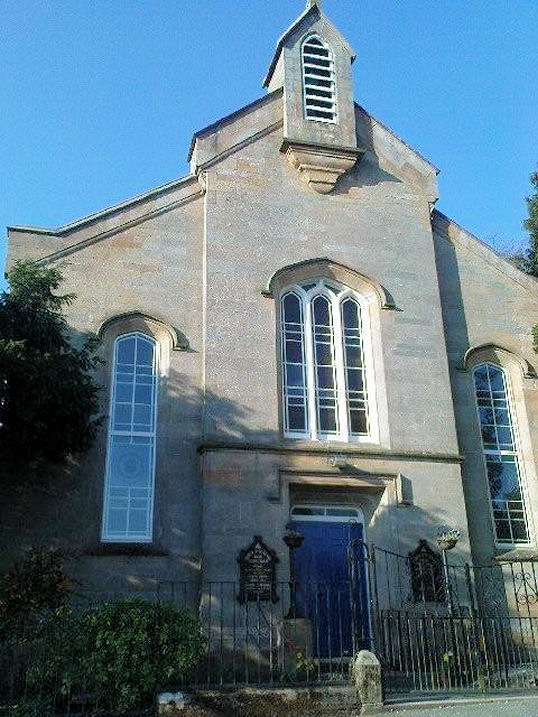
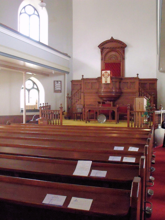
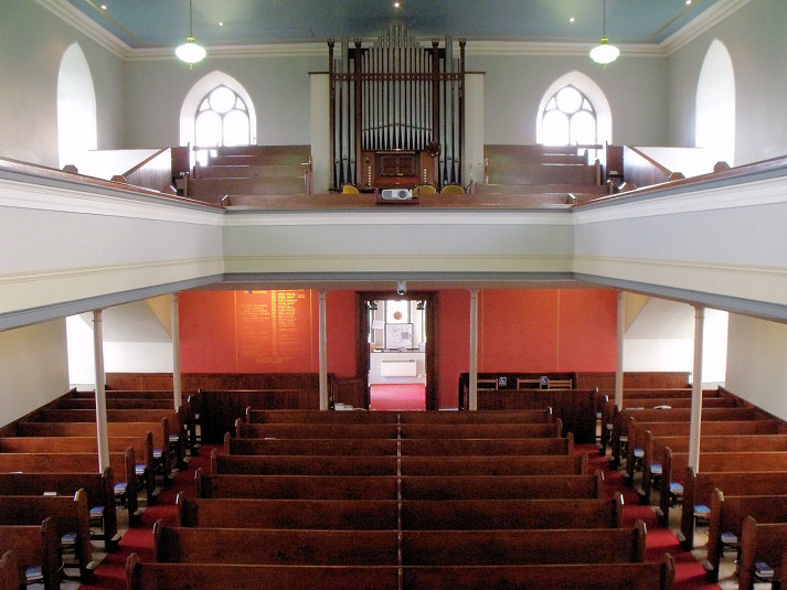
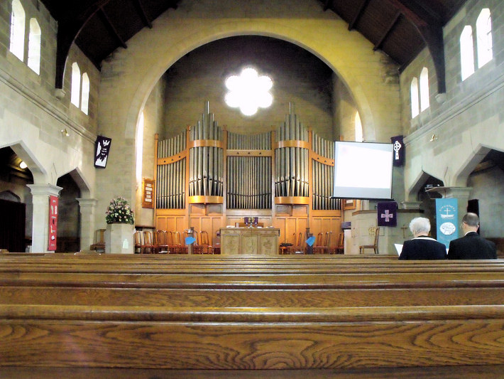
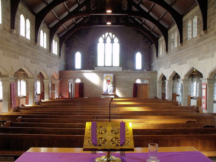
Eaglesham, the Parish Church (1790, CoS) on Montgomery Street. Two interior views - 1, 2. NS 5737 5190. All © Charles Clegg (2012). Link. Its category B listing, which calls it Carswell Church, dates it to 1788. Its PoWiS entry says it was successor to a medieval church, which O.S. maps show to have been just behind the southern wall of the present church, at NS 5738 5189, seen here in a 2023 Streetview. Further along Montgomery Street to the S.W. a former Free Church and a former United Presbyterian Church stood close together, the Free at NS 5726 5183, and the U.P. at NS 5723 5182. The U.P. church is today The Carswell Centre. PoWiS dates it to 1868, replacing a predecessor on Polnoon Street. The Free Church survives as a church hall. A 2020 Streetview provides the slightest glimpse of it on the right through its access alley. Its PoWiS entry includes a photo. St. Bridget (R.C.) on Polnoon Street was built as a Secession Burgher Church in 1782 (source). Maps label it as R.C. in 1897. 2023 Streetview. NS 5713 5203. Giffnock, the U.R.C. (1937) on Fenwick Road, as seen by Streetview in 2024. NS 5636 5949. PoWiS says it was originally Congregational, and successor to a church on Eglinton Street (I haven't been able to find this street). Two interior views - 1, 2, both © Charles Clegg (2012). Orchardhill Parish Church (2021 Streetview) is on Church Road and Claremount Avenue. NS 5633 5872. Link. Category B listed - date it to circa 1899. Giffnock South Parish Church, on Greenhill Avenue, as seen by Streetview in 2022. NS 5589 5821. Link. Category B listed - dates it to 1913-18. Giffnock Newton Mearns Synagogue (2022 Streetview) is on Maryville Avenue. NS 5609 5875. Link. PoWiS mentions two predecessors on the same site from 1938 on May Terrace, the later synagogue surviving as a youth centre (2021 Streetview). It also mention that the courthouse (noted in the Park Church entry which follows) was used "by 1934" for a time. NS 5647 5922. The Park Church (CoS) on Ravenscliffe Drive, as seen by Streetview in 2022. Link. The About page dates it to 1939-40, the congregation having previously met in the Courthouse (2022 Streetview) on Braidholm Road. NS 5636 5936. PoWiS refers to a Mission Hall of 1939-42, succeeded by the present church in 1965-7. If this survived rather than being demolished, then it may be the building which stands adjacent to the church to its north, seen in 2022.
|
||
14 July 2025
© Steve Bulman